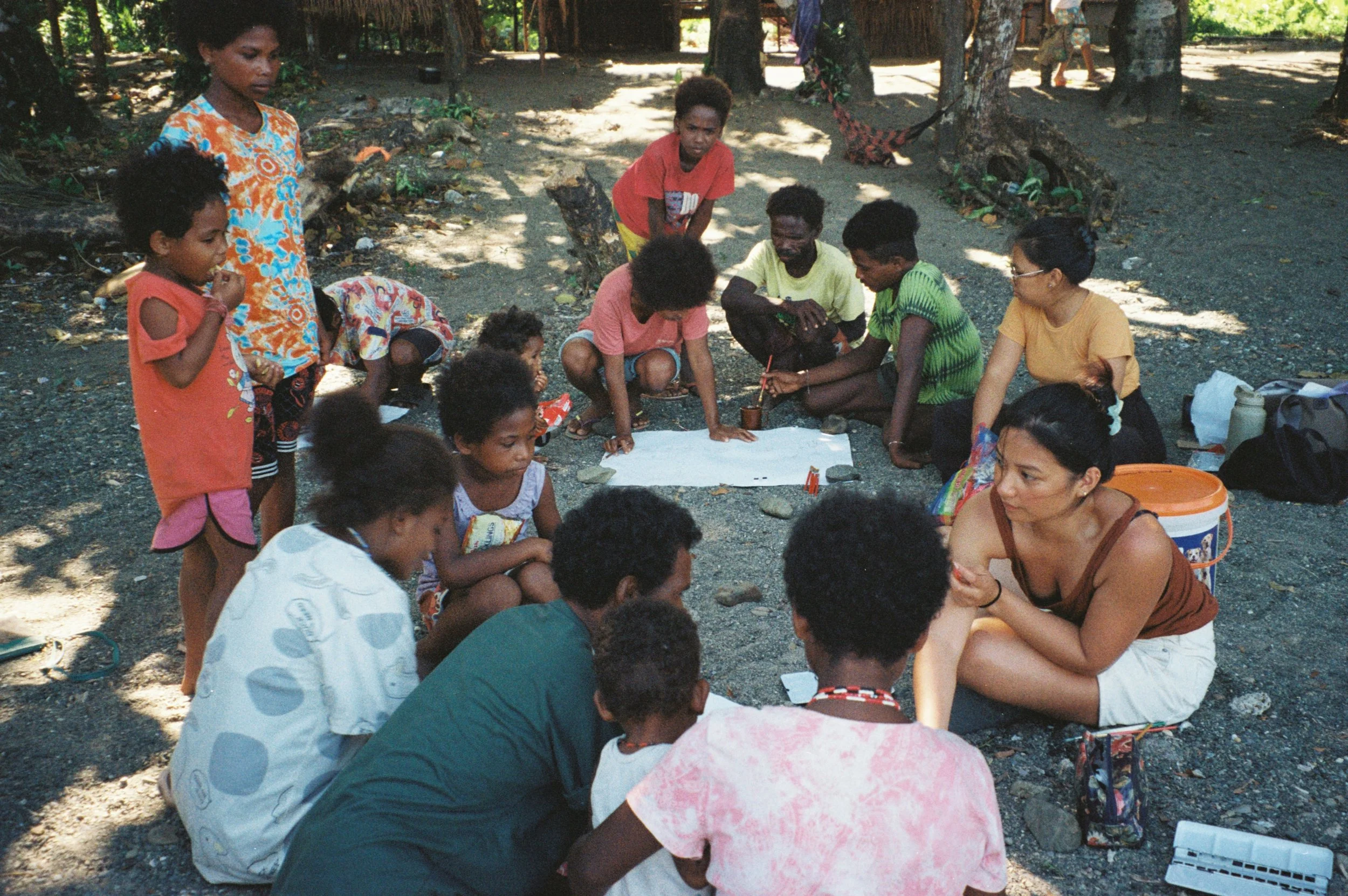
Disrupting Colonial Spatial Narratives Through Counter-mapping
Navigating Contested Territories: Disrupting Colonial Spatial Narratives Through Counter-mapping analyses how cartographic mapping practices - and the knowledge they produce as powerful tools in navigating contested and expropriated territories. This essay explores how colonial and authoritarian regimes have historically used mapping to exploit both land and society. Divided into three sub-chapters, it examines three distinct approaches to mapping — colonial, digital, and Indigenous — through various perspectives. By doing so, it highlights how maps are often strategically employed for political gain, particularly through corrupt policies, land grabbing, and resource extraction.
Navigating Contested Territories


